 |
 |
 |
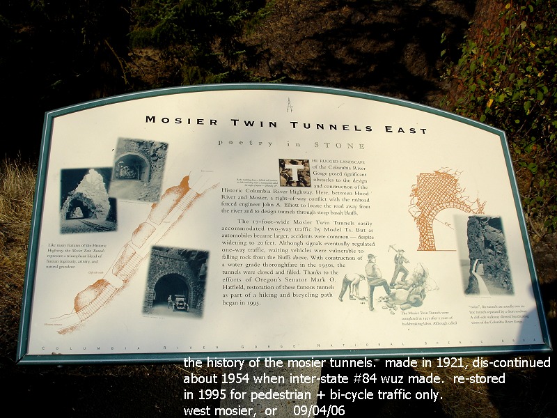
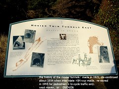
| the
history of the mosier twin tunnels, this used to be the primary
way of going between portland, and "the dalles", oregon
09/04/06 |
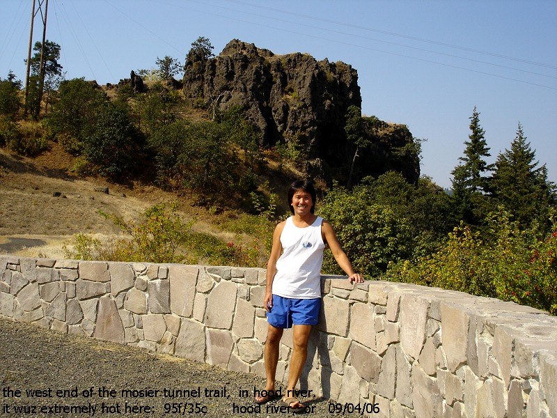
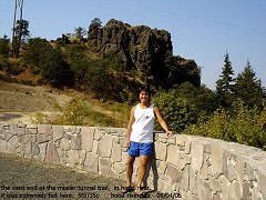
the west end of the mosier tunnels trail, in hood river. it wuz
extremely hot here: 95f/35c hood river, or |
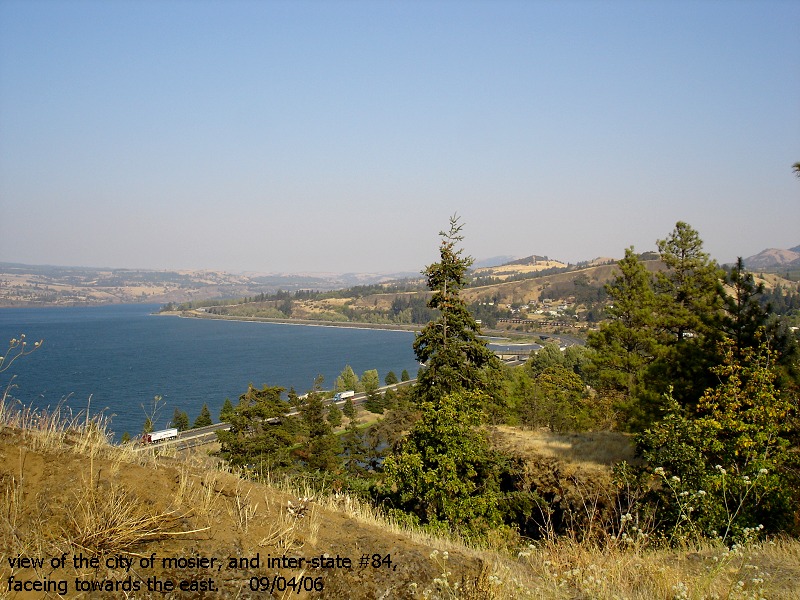
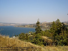
view
of the city of mosier, and inter-state #84, faceing towards the east |
 |
 |
 |
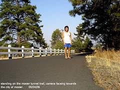
| standing
on the mosier tunnel trail. camera faceing towards the city of
mosier
|
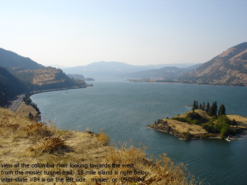
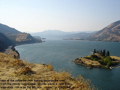
view
of the columbia river, looking the west from the mosier tunnel
trail. 18 mile island is to the right, inter-state #84 is on the
left side |
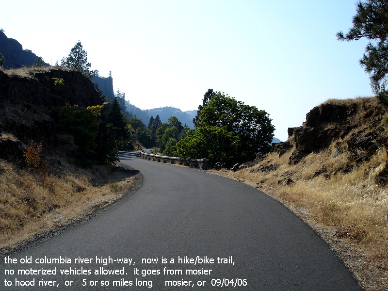
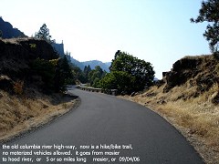
the
old columbia river hwy, now is a hike-bike trail. no
motorized vehicles allowed. it runs from mosier to hood river,
some 5 miles long |
 |
 |
 |
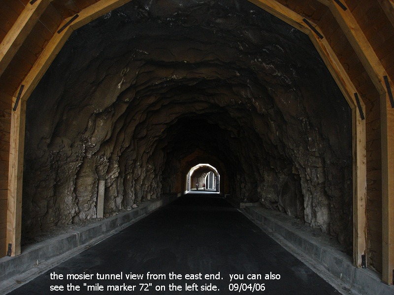
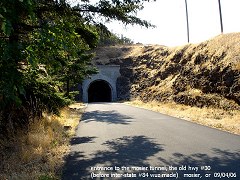
| entrance
to the mosier tunnel, east end, the old columbia river hwy. |
in-side
the mosier tunnel from the east end, see the "mile 72" marker
on the left side. 09/04/06 |
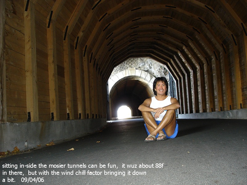
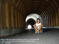
sitting
in-side the mosier tunnels. it wuz about 88f in there, but the
wind-chill factor bringing it down a little bit. |
 |
 |
 |
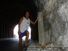
| the
"72 mile" marker in-side the tunnel. it has to be 72
miles from there to down-town portland |
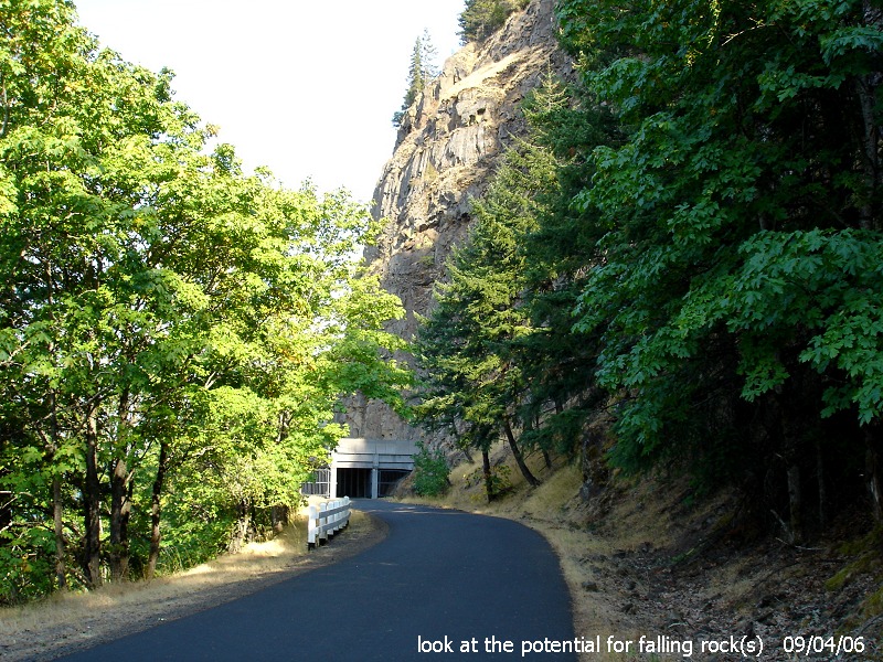
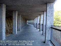
the
rock catchment system. them falling rocks would give you a
serious tankobu or puka cabeza, not fun at all 09/04/06 |
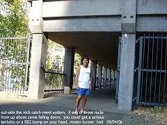
out-side
the rock catchment system. |
 |
 |
 |
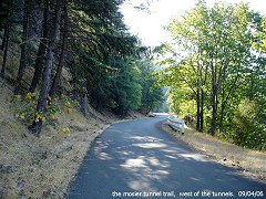
| the
mosier tunnel trail, west of the tunnels 09/04/06 |
look
for the potential of falling rock(s) |
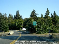
the
city of mosier has a population of 430 peoples 09/04/06 |