 |
 |
 |
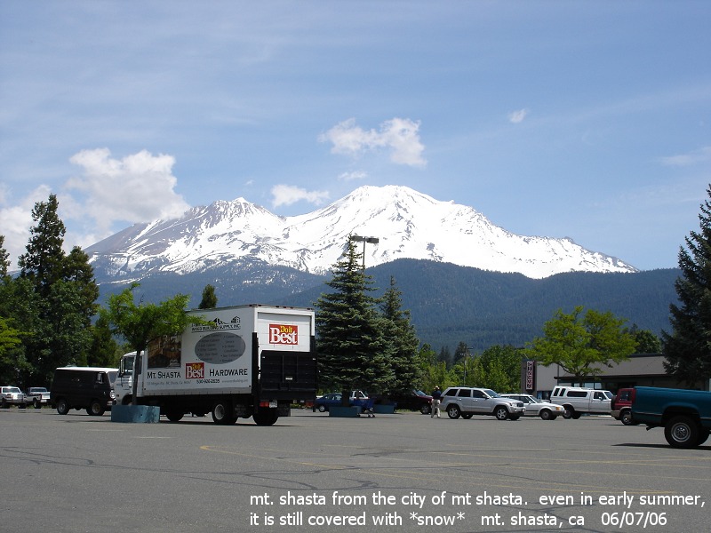
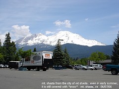
| mt.
shasta from the city of mt. shasta, california. even in early
summer, it is still covered with *snow* 06/07/06 |
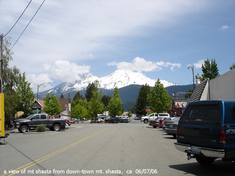
a view of mt. shasta from down-town mt. shasta, california
06/07/06 |
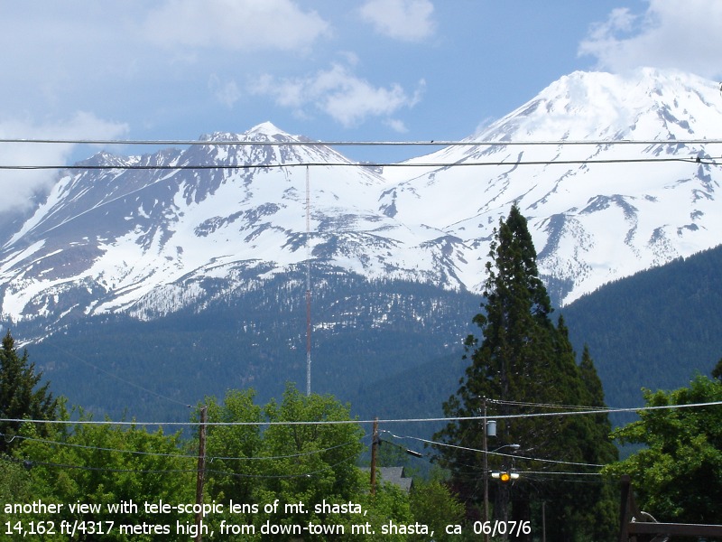
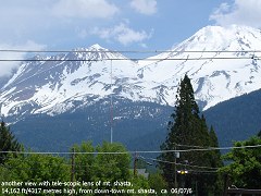
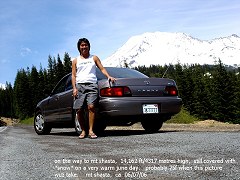
another
view with tele-scopic lens of mt. shasta. 14,162 ft/4317 metres
high |
 |
 |
 |
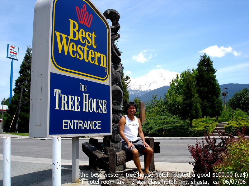
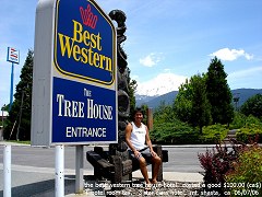
| the
best western tree house hotel, costed a good $100.00 (ca$) a nite here.
|
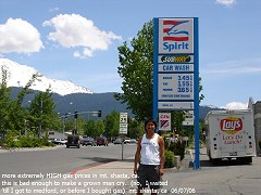
extremely
HIGH gas prices in mt. shasta, ca. Bad enough to make a grown man
cry. |
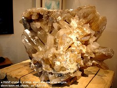
a
HUGE crystal in a shop, about the size of an engine. down-town mt.
shasta, ca 06/07/06 |
 |
 |
 |
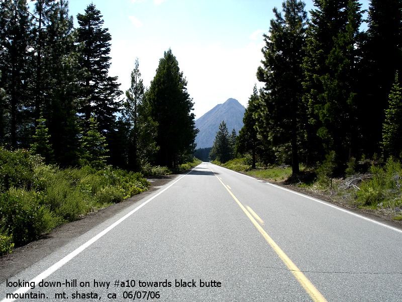
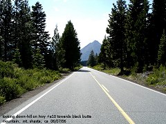
| looking
down-hill on hwy #a10 towards black butte mountain |
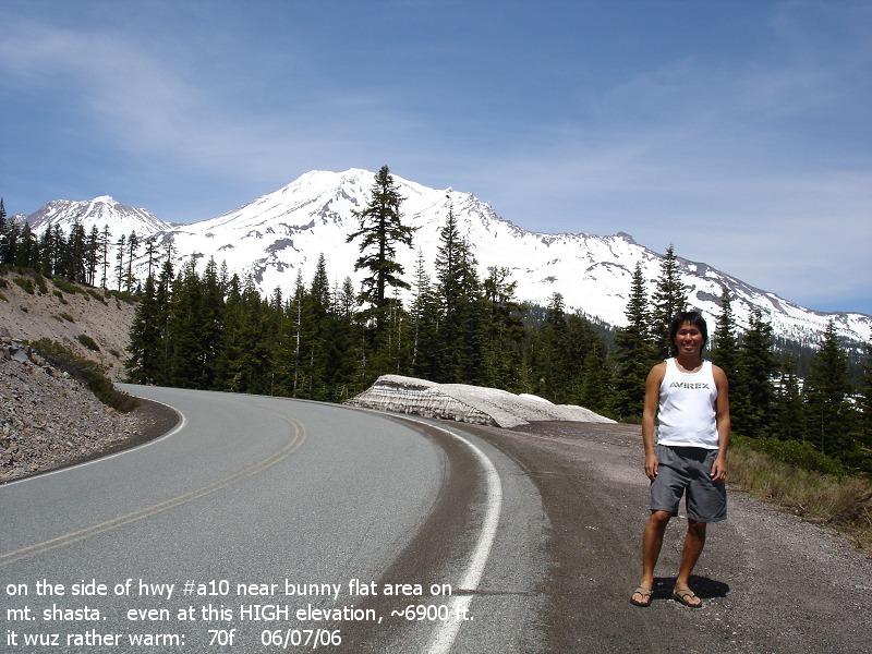
on
the side of hwy #a10 near bunny flat area on mt. shasta.
even at this HIGH elevation ~6900 ft. it is about 70f |
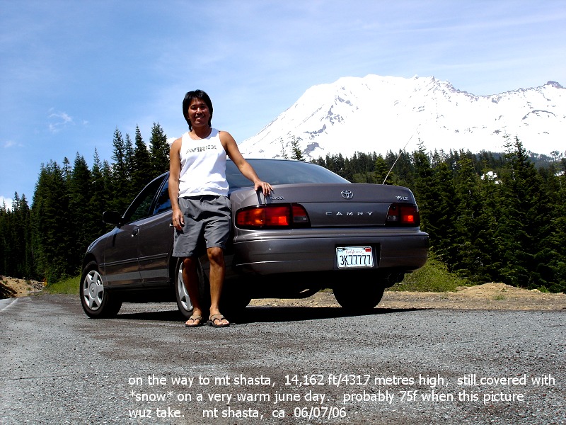
on
the way to mt. shasta. |
 |
 |
 |
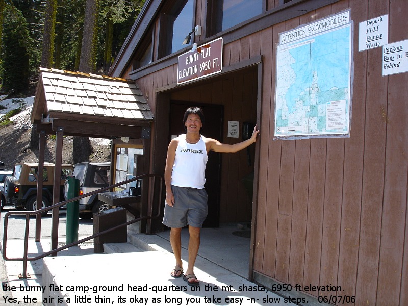
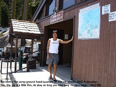
| the
bunny flat camp-ground head-quarters on the mt. shasta, 6950 ft
elevation. |
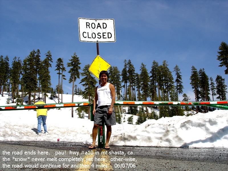
the
road ends here, pau. have to wait 'till the rest of the *snow*
melts before they open more of the road. |
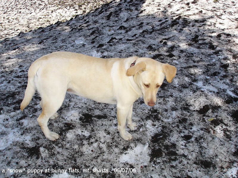
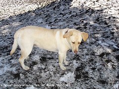
a
friendly *snow* puppy |
 |
 |
 |
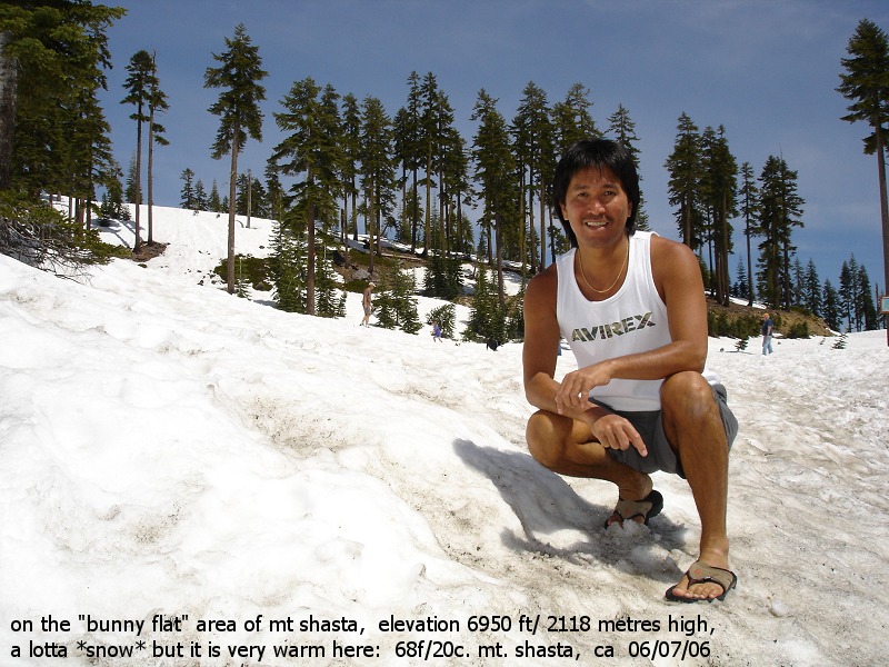
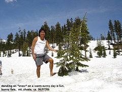
| on
the bunny flat area of mt. shasta. elev. 6950 ft/2118 metres high,
lotta *snow* but very warm here: 68f/20c |
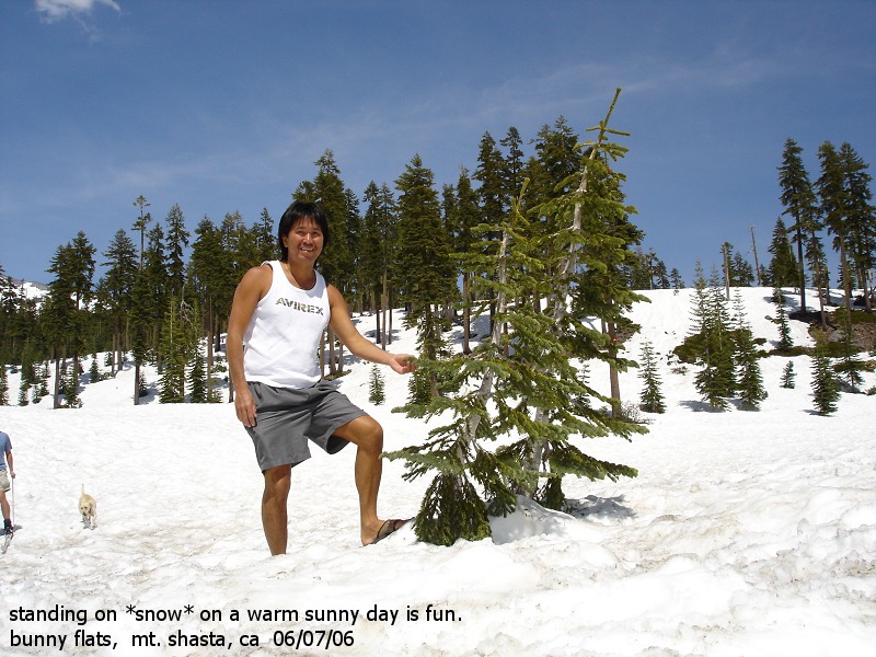
standing
on *snow* on a warm sunny day is fun |
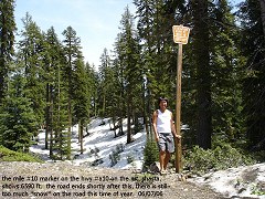
the
mile #10 marker on hwy #a10 shows 6590 ft. the road ends shortly
after this. to much *snow* this time of year |